Big Views In Focus
4K | 48MP | 400ft. High | 16mi. Wide
High Altitude Pixels takes your vision wider and higher, capturing the details often missed below.
The Ideal Alternative
Your eye in the sky
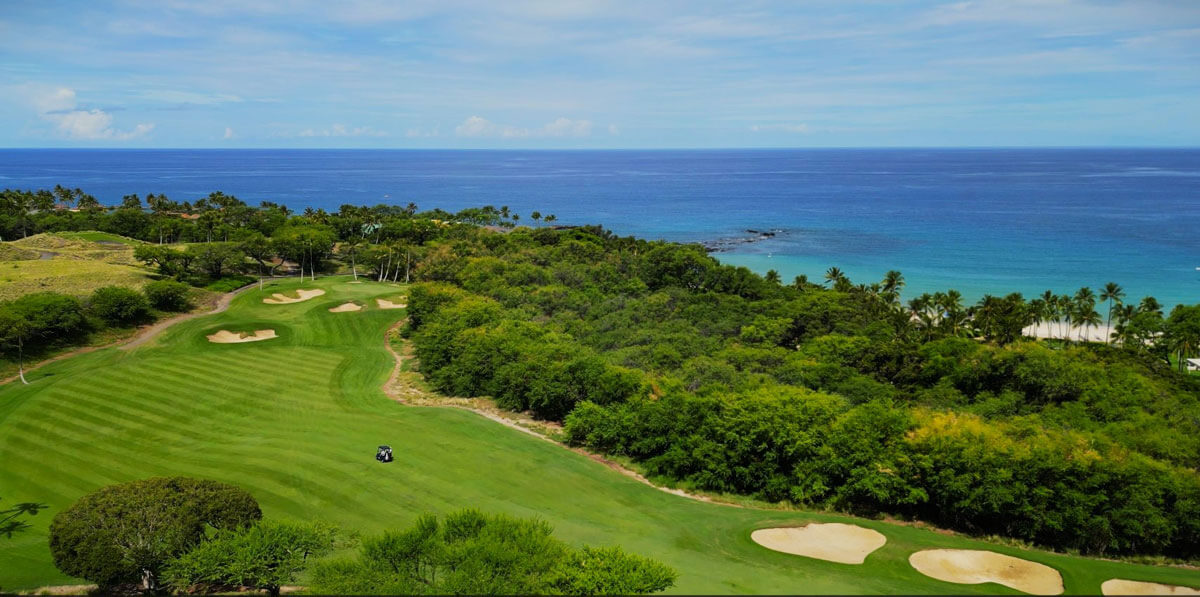
Drones have transformed aerial operations across industries, offering a safer, smarter alternative to helicopters and scaffolding. From site surveying to landscape/urban planning, they deliver critical insights from above – quickly and cost-effectively.
Closer look
See more, Know more, Do more
Unlock new perspectives, capturing detailed visual data from construction sites to hard-to-reach infrastructure. With high-resolution imaging and videography, you can make informed decisions without ever leaving the ground.
Industries
Drones aren’t just tools – they’re a new lens through which clients gain clarity, efficiency, and insight.
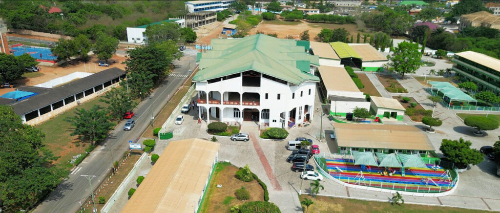
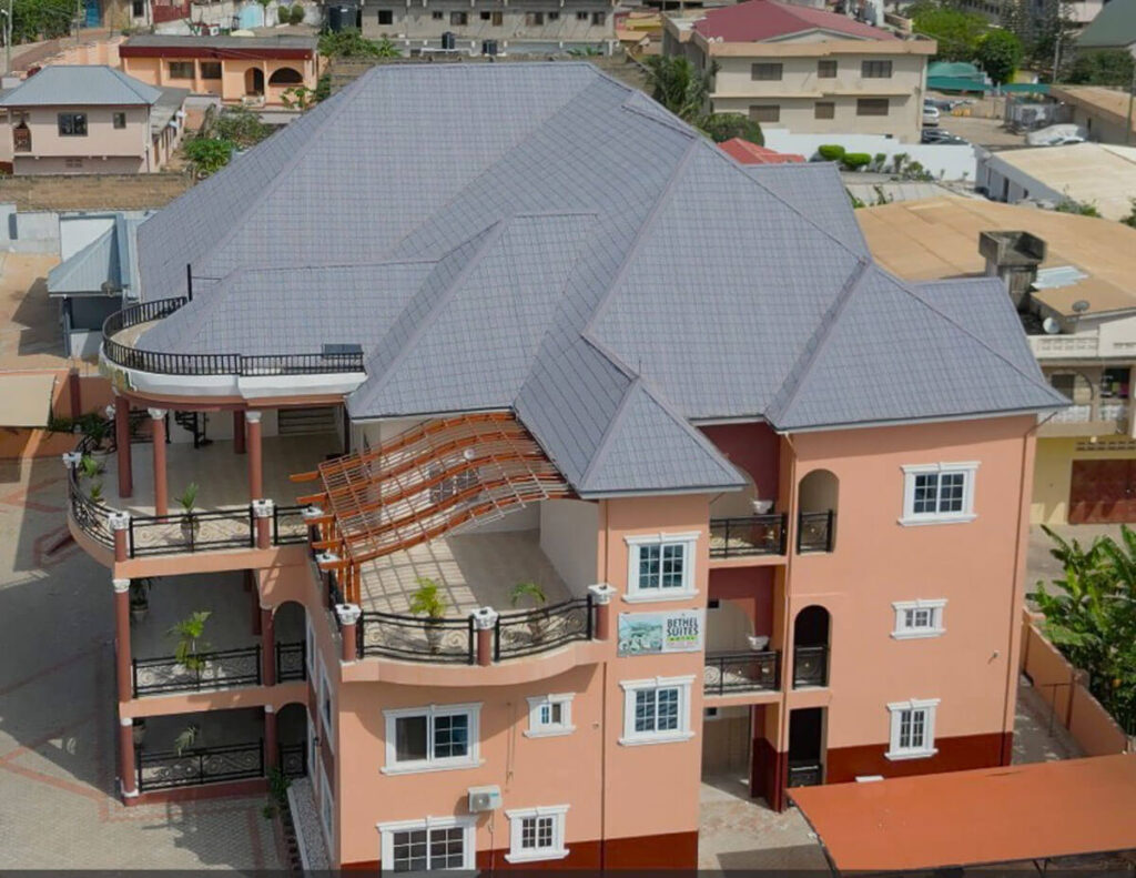
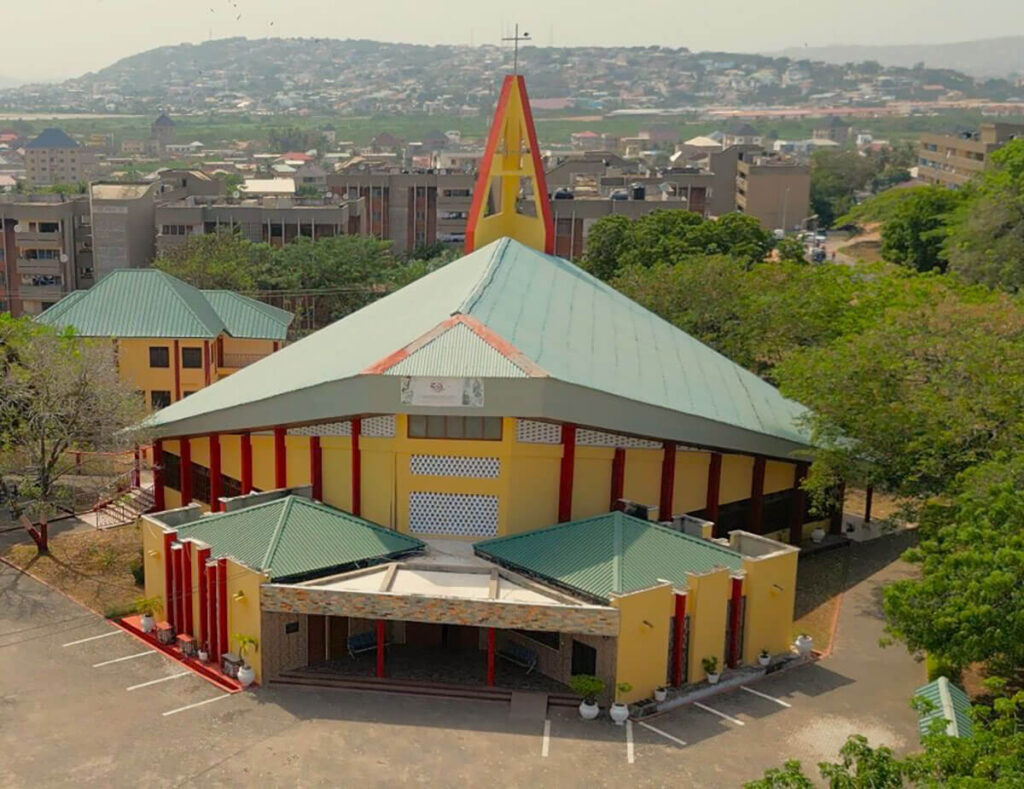
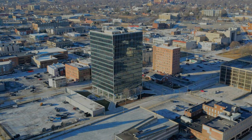
Construction
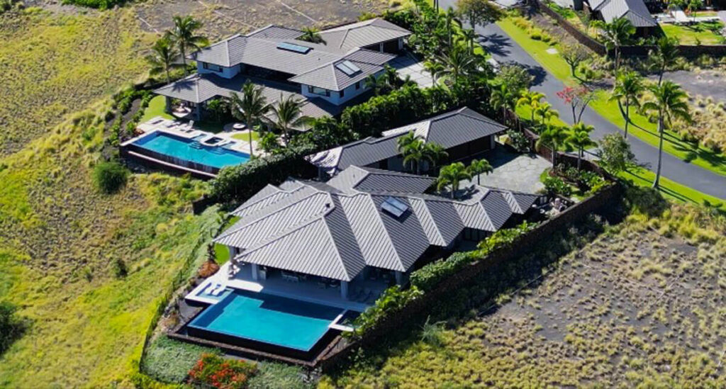
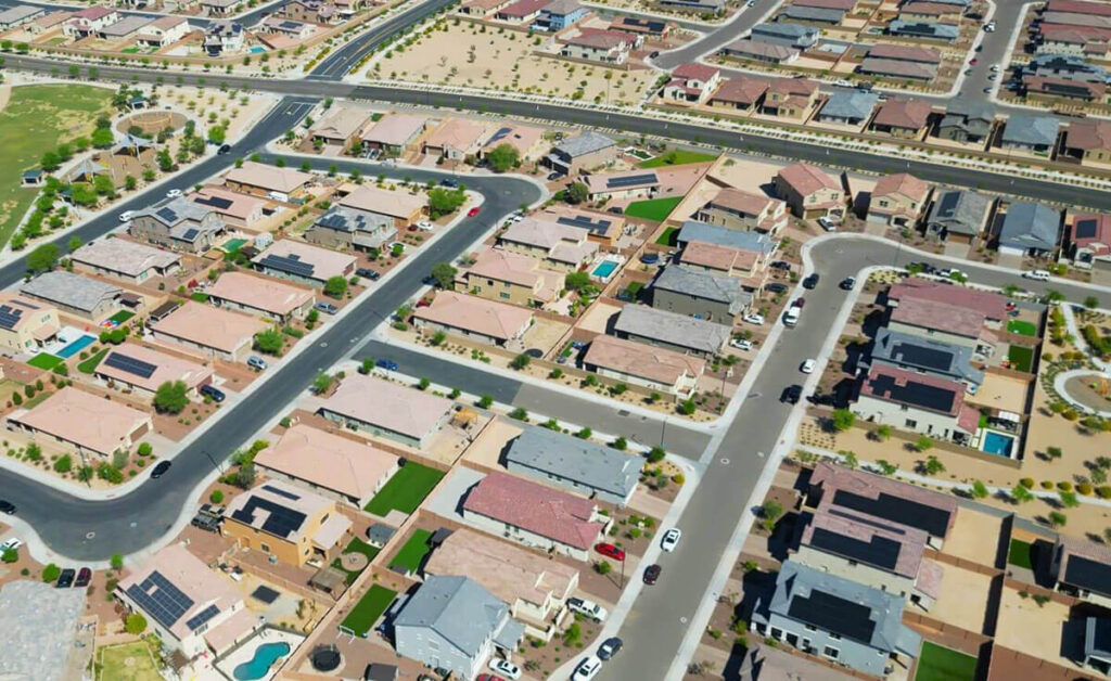
Real Estate
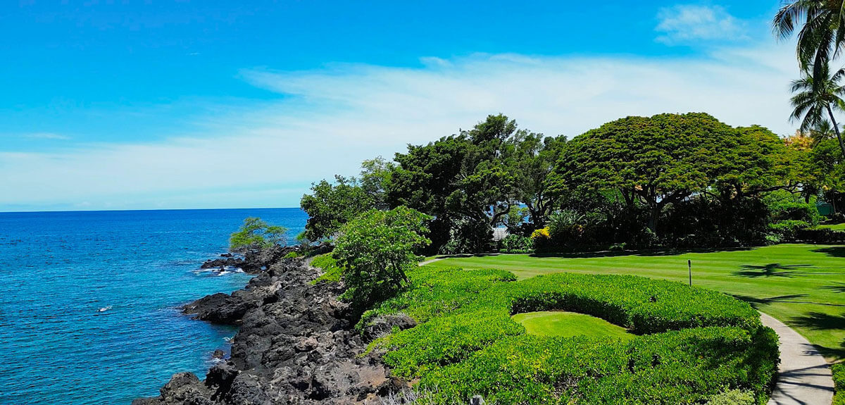
Undeveloped Land
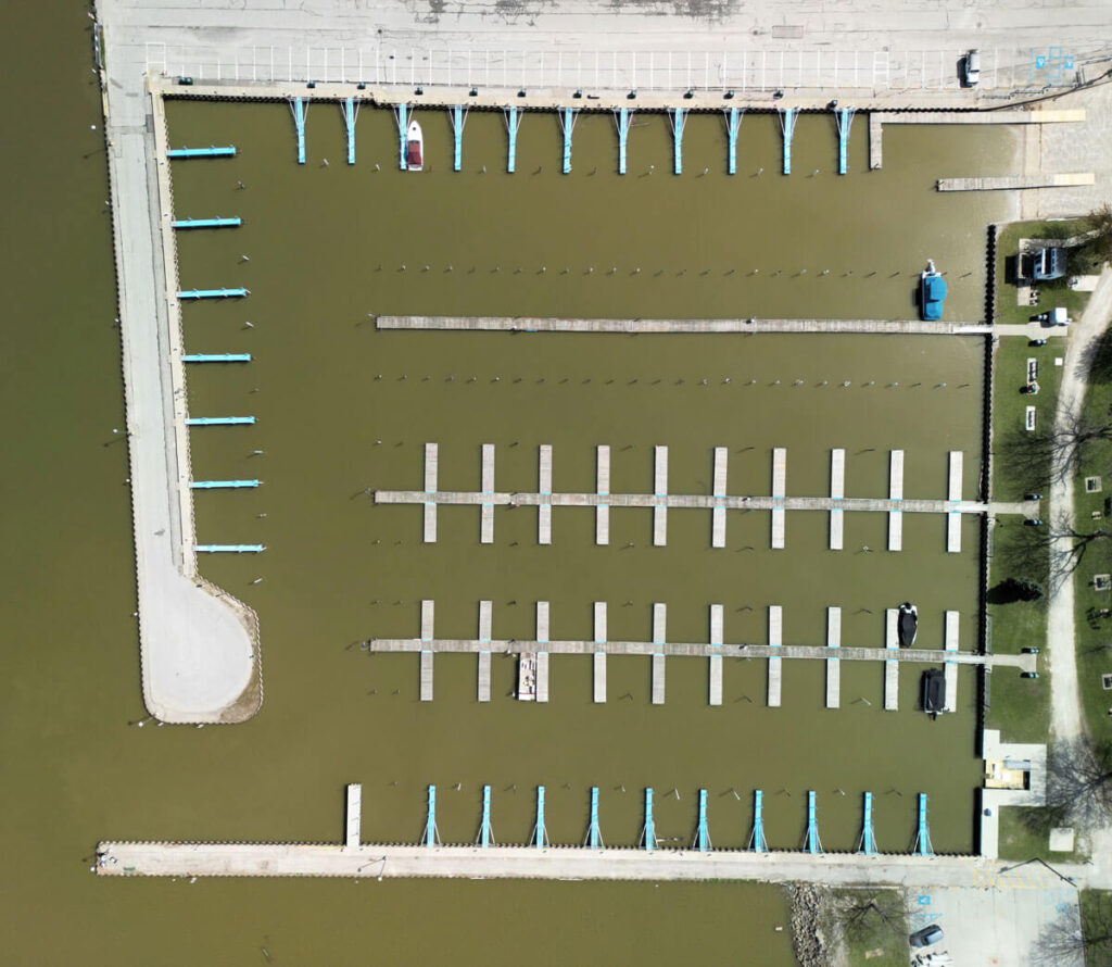
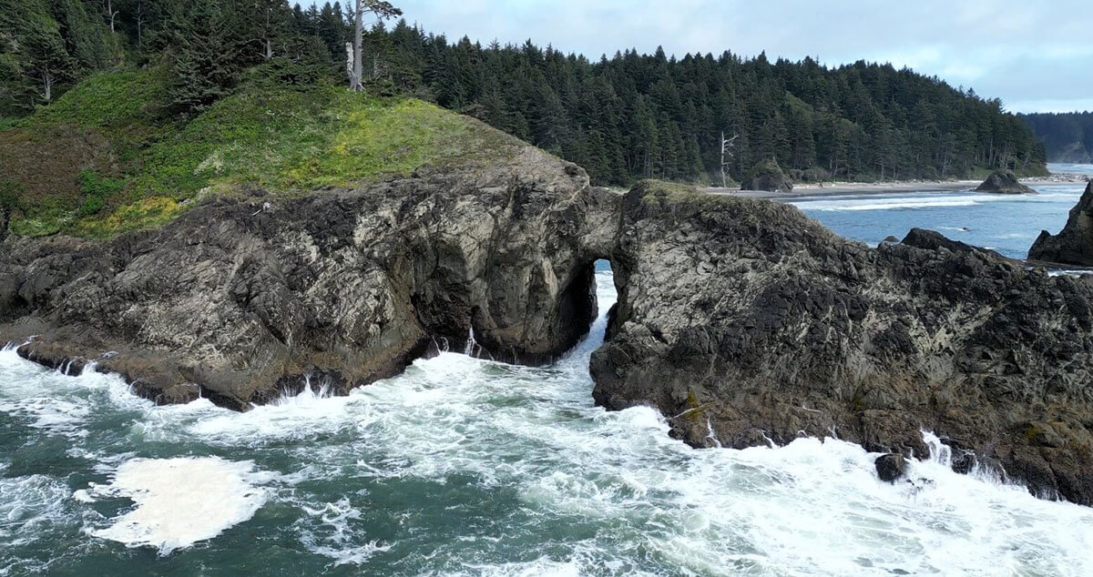
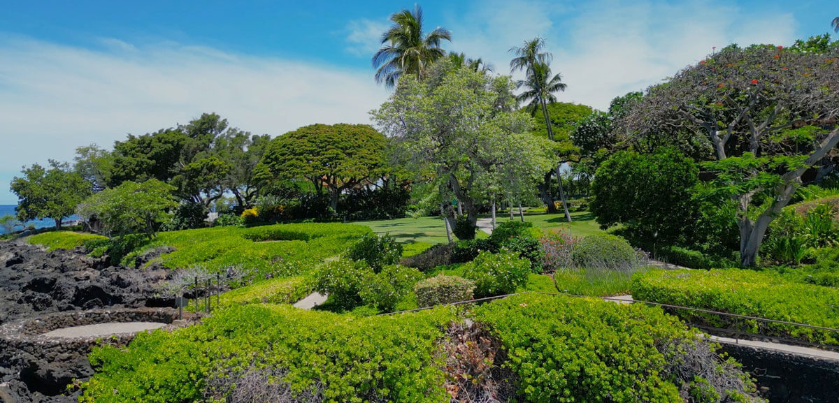
Travel
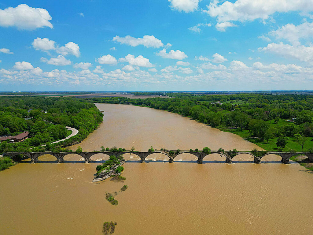
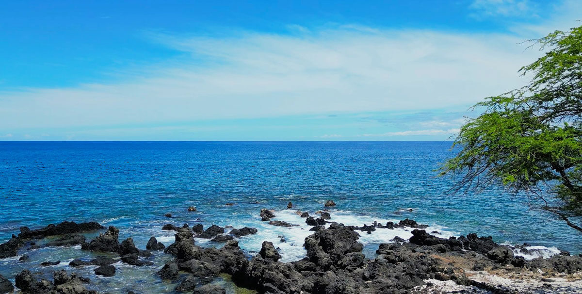
Landscape
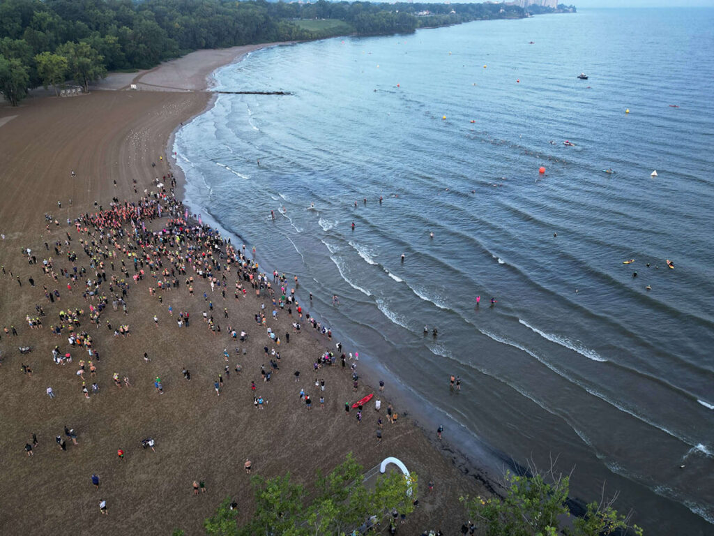
Events
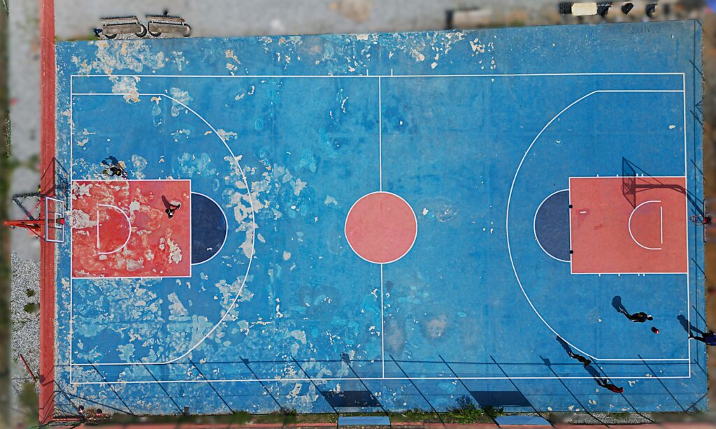
Commercial


Why choose High Altitude Pixels?
Our values
Collaboration
We work closely with you to understand your vision and fulfill your project’s needs. Through clear communication and responsive feedback, we deliver high-quality results that align with your expectations.
Quality
From sharp, well-composed aerial imagery to data capture, every project is approached with a focus on clarity, precision, and consistency with 4K HDR video and 48MP photography.
Efficiency
We value your time and money. Through careful, advanced planning we are able to come prepared, ready onsite and on time to get the job done when you need it.
Attention to Detail
Every movement, setting, and post-editing decision is made with care – ensuring results that are reliable, professional, and exceed expectations.
Travel


Contact Us
Please allow 24 hours for us to respond. We look forward to collaborating and bringing your vision to reality.